By Abasi Ita, Calabar
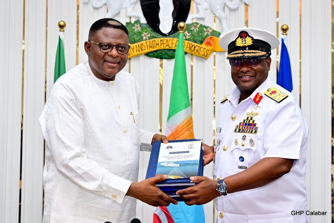
In a major leap toward the realization of the Bakassi Deep Seaport, Cross River State Governor, Senator Prince Bassey Otu, has received the hydrographic, geophysical, and geotechnical survey report, along with an updated navigational chart, from the National Hydrographic Agency of Nigeria.
The documents were presented at the State Executive Council Chambers in Calabar by Rear Admiral Ayo Olugbode, Hydrographer of the Federation and Chief Executive Officer of the agency. Olugbode was accompanied by the outgoing Flag Officer Commanding Eastern Naval Command, Rear Admiral Said Akinwade, and other senior officials.
Describing the report as a landmark achievement, Olugbode said the findings convert uncertainty into actionable data, laying a strong foundation for the engineering, construction, and future operation of the deep seaport.
“This report brings vision into reality and sets the stage for self-driven and sustainable development of the Bakassi Deep Seaport,” he stated. “It will unlock new trade routes, boost economic growth, and generate jobs across the region.”
Olugbode emphasized that the survey meets global benchmarks, and will guide key decisions on dredging, berth locations, water systems, and navigational alignment. He explained that accurate depth data is critical to determining the types of vessels the port can accommodate, which in turn affects commercial viability and competitiveness.
He further recommended that a reputable international dredging company be contracted for the project and called for the creation of a channel management regime to monitor navigational hazards.
Other key recommendations include the regular hydrodynamic and sediment transport modeling, periodic surveys of the port area, and the adoption of pile foundation systems. The agency also emphasized the need for a detailed environmental impact assessment to monitor and protect the local ecosystem.
On challenges encountered during the survey process, Olugbode cited environmental, health, and safety issues that led to unexpected delays beyond the initial 90-day timeline. He noted, however, that these experiences have strengthened the agency’s planning framework for future operations.
Receiving the report, Governor Otu commended the Nigerian Navy and the Hydrographic Agency for their professionalism and commitment to the project.
He described the newly produced chart as a definitive statement confirming Cross River’s status as a littoral state.
“This chart clearly settles the argument about our coastal identity,” the governor said. “By examining the fairway buoy and international maritime boundary, it is evident that Cross River is indeed a coastal state.”
Otu also acknowledged the efforts of his predecessor, Senator Ben Ayade, for initiating the Bakassi Deep Seaport project and investing significant public funds into it.
“We couldn’t allow that vision to waste. Our administration made a conscious decision to see it through. Today is a critical step forward. What we now await is the final approval from the Federal Executive Council. Once that is granted, construction will commence,” he assured.
The event concluded with an exchange of gifts and a video presentation showcasing the journey through the hydrographic survey and its significance to the port development project.