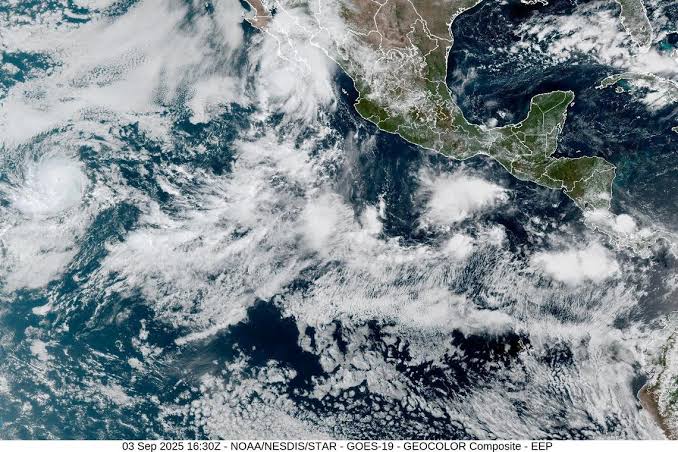
A hurricane warning was issued Wednesday as Hurricane Lorena formed off the southern coast of Mexico’s Baja California peninsula, bringing the threat of dangerous rains, flash floods, and mudslides.
The U.S. National Hurricane Center (NHC) said Lorena is likely to strengthen in the next 24 hours before gradually weakening by the end of the week.
Forecasters warned that the system could dump up to 15 inches (38 centimeters) of rain across parts of Baja California and southwestern Mexico, with mountainous regions facing the highest risk of flooding and landslides.
Local authorities urged residents to stay alert, prepare for possible evacuations, and closely follow emergency instructions.
As of Wednesday, Lorena was located about 120 miles (195 kilometers) south-southwest of Cabo San Lucas.
The storm had maximum sustained winds of 75 mph (120 kph) and was moving northwest at 14 mph (22 kph).
Its exact track remained uncertain, and forecasters could not yet confirm whether it would make landfall on the peninsula or curve into cooler Pacific waters.
The NHC said residents in Baja California should brace for tropical storm conditions as Lorena approaches. Even if the storm veers offshore, its rain bands could still cause widespread disruption.
Meanwhile, in the eastern Pacific, Hurricane Kiko continued to strengthen over open waters.
Classified as a Category 2 storm with winds of 105 mph (169 kph), Kiko was about 1,700 miles (2,735 kilometers) east of Hilo, Hawaii. While no warnings were issued for land, forecasters expect Kiko to intensify further and possibly reach major hurricane status.
Both storms are part of an active Pacific hurricane season that has brought several strong systems.
Emergency officials in Mexico warned that the combination of heavy rainfall, saturated ground, and unstable slopes could pose serious hazards to communities in Baja California and beyond.